Lynda - AutoCAD Civil 3D: Topographic and Boundary Survey
This post was published 8 years ago. Download links are most likely obsolete. If that's the case, try asking the uploader to re-upload.
Size: 367 MB | Duration: 2h 7m | Video: AVC (.mp4) 1280x720 15&30fps | Audio: AAC 48KHz 2ch | Subtitles
Genre: eLearning | Level: Intermediate | Language: English
AutoCAD Civil 3D software—a design and documentation solution for civil engineering—offers tools and features that can help you maintain consistent data and improve project performance. In this course, learn how to leverage this powerful software to tackle the different types of tasks involved in a survey project, including boundary analysis and creating TIN surfaces. Instructor Dustin Manning helps you get started by explaining how to set up your survey database. He also shows how to create automated linework, draw and label boundaries, and translate surveys. To wrap up the course, he shares some helpful productivity tips.
Topics include:
* Setting up your survey database
* Field to Finish workflow
* Creating automatic linework
* Creating TIN surfaces
* Adding surface labels
* Working with different data sources
* Boundary survey in Civil 3D
* Drawing and labeling a boundary
* Productivity tips and tricks
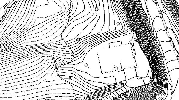
Screenshots
Quick check before we show the links
Helps us keep automated scrapers from hammering the filehosts.