GeoServer 2.8.1 Stable + Portable + Manual
This post was published 10 years ago. Download links are most likely obsolete. If that's the case, try asking the uploader to re-upload.
GeoServer 2.8.1 Stable + Portable + Manual | 104/106 Mb
Working with geospatial data involves the use of dedicated software solutions which are fit for loading and handling information stored in specific formats. Viewing and creating maps, for example, would be very difficult indeed if applications like GeoServer would not be available. This particular utility is tailored for working with a variety of data types and it will make it possible for any user interested in the development of detailed maps that follow open standards to put together complex projects.
Following closely the specifications of Open Geospatial Consortium (OGC) protocols, GeoServer can display, edit and make images or maps with formats that are common to this particular domain, like Shapefiles, KML, KMZ, SVG, GML, JPG, PNG or PDF.
When it comes to generating the actual maps, this operation is made a lot easier thanks to the integrated mapping library OpenLayers which is meant for integration in projects that involve the creation of dynamic maps.
In case the user has some already made maps or wants to view the data stored in a format specific to Google Earth, Google Maps or Microsoft Virtual Earth and even Yahoo Maps, GeoServer can help a lot as it is capable of displaying and using that information.
Thanks to the numerous standards it follows and to the extensive support for the most common map data containers, this application is sure to bring the Geospatial Web closer to all users.
New in version 2.8.1 (November 21, 2015)
• Multidimensional GRIB / NetCDF / NetCDF Output modules promoted to extension
• Fixed query parameters in SLD external graphic
• Fixed legend preview with SLD external graphic
• Fixed multiline labels in PDF WMS request with translation
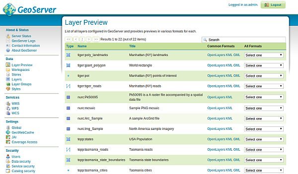
• Fixed layer preview GML links for app-schema layers
• Fixed JMS clustering to use qualified names for layers, layer groups, and styles
• Avoid catalog linear scans in GWC integration listeners
• Fixed OpenLayers preview with the authkey module enabled
SYSTEM REQUIREMENTS
• Java. Get It Here.
OS: Windows All